IPNF to conduct Shoshone controlled burns
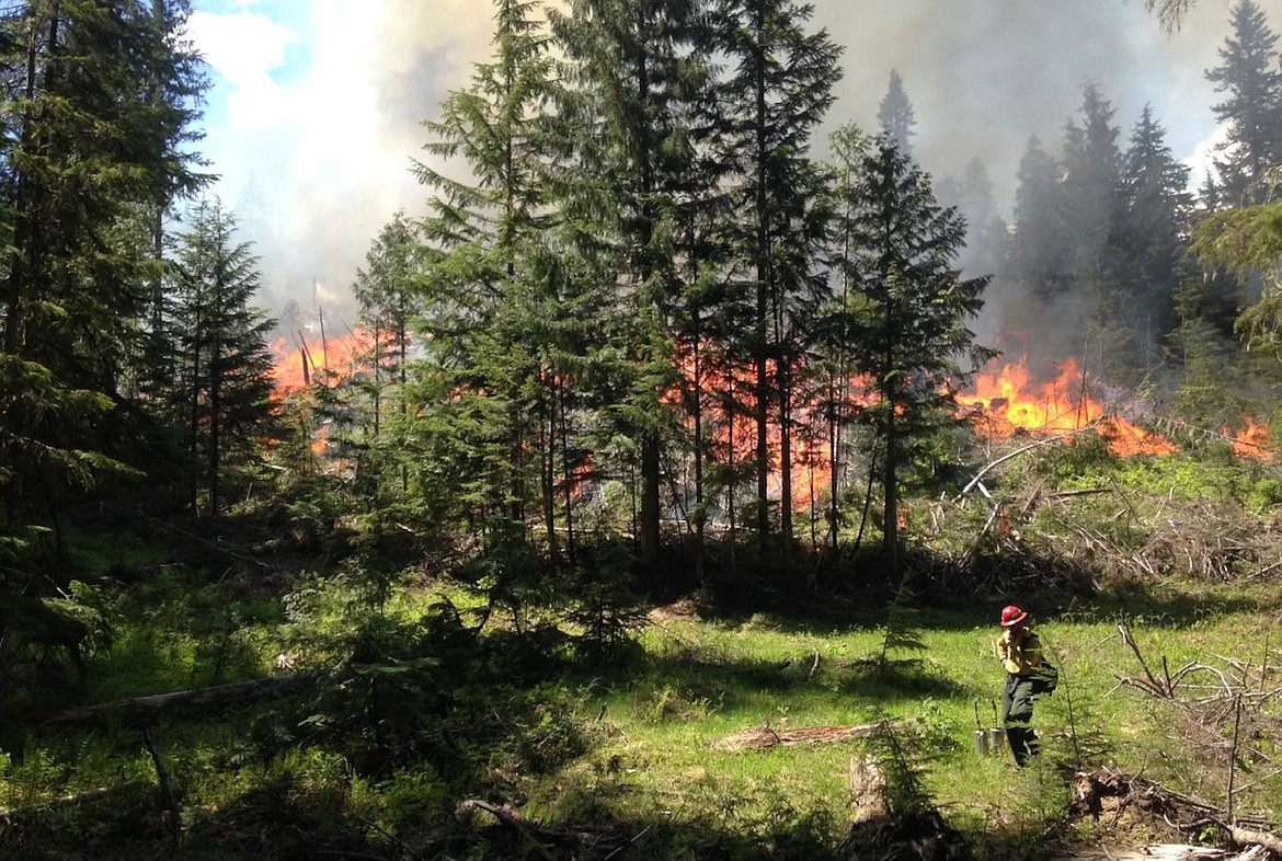
Prescribed fire unit on the St Joe Ranger District lit by drip torch
IPNF

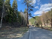
Two Mile Rd looking north at USFS fuel break.

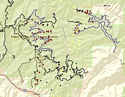
The red dots shown indicate the planed burn locations for the Two Mile and Beaver Creek projects.

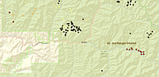
The red dots indicate the planned burn locations for the St. Joe Divide and Halfway Malin projects.
Fire crews with the Idaho Panhandle National Forests are planning on turning up the heat this weekend in an effort to avoid some even hotter conditions this summer.
IPNF Public Information Officer Kary Maddox explains that controlled burns will start being lit Friday and will continue into Saturday if favorable weather and smoke conditions are present.
The most populated area being tackled will be in the Two Mile Project Area, located just north of Osburn. Maddox explains that this will be a Type 1 burn due to its complexity.
"The main purpose of this project is that it is an example of a WUE- or Wildland Urban Interface. In the case of Two Mile, the boundary between USFS property and private property is a road, so it really shows the responsibility and priority we have put on this landscape because of how it could directly affect people and the place that they live."
The Two Mile project will involve ground units on Friday and air units on Saturday.
Ground crews will work to "black line" or create fire breaks in several natural fuels units in the project area. Total acreage planned to be burned on Friday is approximately 15 acres.
The next day, controlled burns will continue in the area via aerial ignition methods such as a helitorch and a Plastic Sphere Dispenser (a device that releases hundreds of fuel-filled ping pong balls).
Residents of Osburn and the nearby area should expect to see smoke as ignitions will continue throughout the day. Residents should also be aware of fire crew traffic and road guards on the Two Mile Road, as fire personnel will be finishing ignitions by hand.
Further north, the residents of Murray may also see some smoke coming from the Beaver Creek burns on Saturday. These burns are being performed in conjunction with the Two Mile plans and will be done by air units in rural areas southwest of Murray that are still inaccessible by ground due to snowpack.
In the southern lands of Shoshone County, aerial ignitions are planned for the St. Joe Divide Project on Friday and Saturday as well.
IPNF plans to burn approximately 350 acres up Big Creek in the vicinity of Trail 44 and Daugherty Peak. The nearby Halfway Malin Project will also be accomplished with aerial ignitions, totaling approximately 400 acres north of the St. Joe River between Bird Creek and Eagle Creek.
In all operation areas, Maddox states that helicopter traffic, localized road congestion, and temporary road restrictions are expected.
"Please avoid project areas if possible," she said. "We appreciate people's patience and support. A little smoke now hopefully will prevent a lot of smoke later."
Further details and maps for these projects can be found on http://bit.ly/NorthIdahoRxFire.