City submits additional info to FEMA
KELLOGG — Kellogg city officials are hopeful that their most recent submission to Federal Emergency Management Agency (FEMA) could be their final one as they seek to revise their decades-old flood maps.
The city submitted their original letter of map revision (LOMR) in February 2021, but FEMA asked for further information which required Kellogg to approve additional work from engineering firm Alta Science and Engineering to gather and get it sent over to FEMA.
Since then, it has been an intricate dance between the city and the federal agency, which has moved at what can only be described as a glacial pace.
“They have asked us for some more additional information concerning the flood study that was completed by the Army Corps of Engineers for additional clarification,” said Rod Plank, Kellogg special projects manager. “We sent them all of our new data that has been compiled by the Corps of Engineers concerning that section of the river and we haven’t heard anything back from them since we resubmitted that information a few weeks ago.”
It has been several years since the the cities of Kellogg and Smelterville, along with Silver Mountain, banded together with Shoshone County officials in an effort to get the LOMR approved and alleviate the costs of flood insurance to property owners inside the targeted area of study.
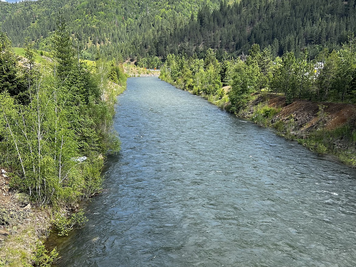
Part of those efforts included having Alta complete a complex flood study that included 160 cross sections of the South Fork Coeur d’Alene River between Elizabeth Park and Pinehurst, near the river’s confluence with Pine Creek prior to their submission.
Over the years homeowners in those communities have existed within a FEMA-designated floodplain, resulting in them paying extremely high premiums for annual flood insurance on their properties.
However, in July 2020, the United States Army Corps of Engineers (USACE) released new data that had been gathered over the years that could potentially change the floodplain maps on the western end of Shoshone County — this data, along with Alta’s study, was the driving force behind the LOMR.
Flood insurance policy prices vary depending upon flood area and structure characteristics.
In general, the range is from just over $300 in 2020 to thousands of dollars annually per property according to representatives at the Shoshone County Courthouse.
“The goal is to help our homeowners,” Plank said. “There’s a lot of folks who pay a lot of money annually and if we can ease that burden in any way, then we’re going to do what we can.”
According to Plank, there is no timetable on when FEMA will respond, but anticipates that once they have the additional information submitted, the process should move right along.

